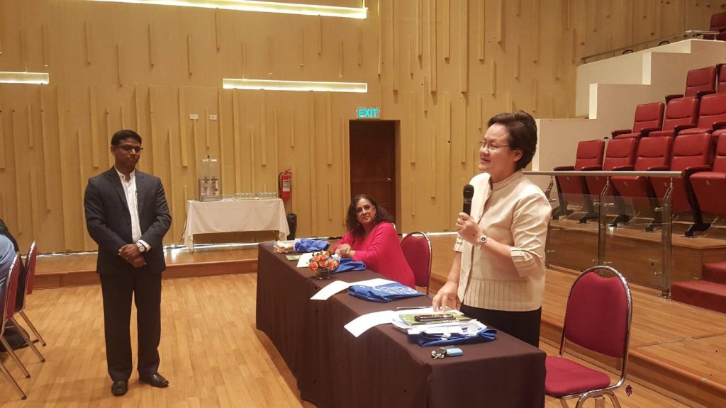
Leaded by Dr. Kamolart Intaratat Director of The Research Centre of Communication and Development Knowledge Management (CCDKM) and Asia-Pacific networks has joined “Regional Training on the use of Drones Satellite Imagery and GIS fo Agriculture“ 4-8 June 2018. at AIT Conference Center, Thailand
Regional Training on the Use of Drones, Satellite Imagery and Geographic Information Systems (GIS) for Agriculture
OBJECTIVES TRAINING
The use of unmanned aerial vehicles (UAVs), also known as drones, satellite imagery, GIS and connected analytics has great potential to support and address some of the most pressing problems faced by agriculture in terms of access to actionable real-time quality data. This training is to build capacity among FAO-ITU member countries in the use of these emerging technologies and to equip them with the needed technical knowledge to fully utilize these technologies for agriculture (including forestry and livestock), early warning systems and disaster risk management.
PUBLICATION
The FAO-ITU publication titled E-agriculture in Action: Drones for Agriculture is available at http://www.fao.org/documents/card/en/c/I8494EN and features case studies on the use of drones for agriculture.

